AspEdit is a freeware airspace editor allowing to digitalize airspace. It has several features to facilitate the quick and easy import of airspace areas from various aeronautical publications. AspEdit is available for Windows only.
The current version is 1.08, released march 13, 2025. See the file Version in the manual to find out what's new.
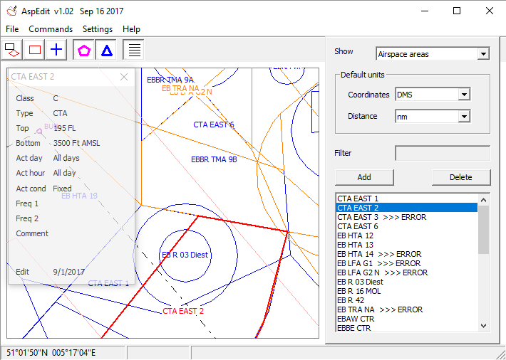
AspEdit can store several attributes that may be useful to a glider pilot during cross-country flights, for instance:
- Vertical boundaries
- Activity times
- ATC frequencies an callsigns
The generated airspace is stored in native XML files, and can be exported to:
-
OpenAir format, for use in soaring computers and flight analysis software.
The OpenAir files can be optimised for the targeted flight computer via various filters and options.
-
Google Earth XML files. This may be useful to help visualise the airspace to novice pilots.
The link "User guide" at the top of this page provides an online manual. Have a look at it to get a detailed overview of the functionality of AspEdit.
An offline user guide is included in the installation package.
|